


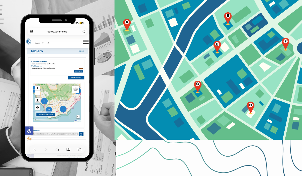
How Open Data Helps Choose a Business Location in Tenerife
A business location can be ideal thanks to open data, which allows this decision to be made in a logical, optimized way that takes into account the most important factors involved. This is the premise behind Tomás Bagües’s idea , which won third prize in the Tenerife Island Council’s First Open Data Contest: Ideas for Reuse, which involves creating a web or mobile app designed to help entrepreneurs and small businesses identify the best location for a business on the island of Tenerife.
The Importance of Choosing a Good Location
Starting a business isn’t just about having a good idea; location is key to the viability of a business, especially in sectors such as retail, hospitality, and services.
This study suggests that a significant proportion of entrepreneurial ventures do not develop a business plan before launching their operations and that, as a result, the closure rate can be high in the early years. That is why, before opening, choosing the right location is crucial; it influences factors such as proximity to potential customers, competition, accessibility, the socioeconomic environment, and access to transportation services.
While large companies typically have the resources to conduct market research and location analysis, small entrepreneurs often rely on their personal knowledge of the area. Open data helps bridge this gap by providing objective, reusable information to make more informed decisions.
The Solution: Geomarketing with Open Data
The idea behind this reuse initiative is to develop a geomarketing tool that allows users to analyze different potential business locations based on georeferenced open data.
Through the application, users could select the municipality where they wish to open their business, specify the type of business, and set relevant criteria, such as the area’s demographic or economic profile. Based on this information, the tool would help identify areas with the greatest potential, taking into account both the distribution of similar businesses and other environmental variables.
The proposal suggests using open-source software tools such as QGIS—in line with the open data philosophy—to perform geospatial analyses. Among the proposed techniques, the use of Voronoi polygons stands out, as they allow for the delineation of areas of influence based on the proximity between points.

Voronoi polygons
Data Sets Used
The proposal reuses various datasets available on the Tenerife Island Council’s Open Data Portal, primarily related to economic activities, businesses, services, and transportation. These include:
- Food stores in Tenerife.
- Tourist accommodations and travel agencies in Tenerife.
- Service-sector businesses in Tenerife.
- Bars, restaurants, and other hospitality establishments in Tenerife.
- Sports and recreation centers in Tenerife.
- Agricultural businesses in Tenerife.
- Retail establishments in Tenerife.
- Medical centers, pharmacies, and healthcare services in Tenerife.
- Industrial companies in Tenerife.
- Transportation-related companies and infrastructure in Tenerife.
- Bus stops in Tenerife.
In addition, it proposes incorporating data from the National Institute of Statistics; this information enriches the analysis with variables such as average age, the population over 65, average income, and the socioeconomic characteristics of each area.
Use case: opening a physical therapy center
The proposal demonstrates how GeoBusiness works using a practical example: a person who wants to open a physical therapy practice in the municipality of San Cristóbal de La Laguna.
To evaluate the location, the tool would take into account variables such as average age, the percentage of the population over 65, the average income in the area, and the presence of similar existing centers. Based on this data, the application would allow users to analyze different census tracts and identify areas with the greatest potential for the selected type of business.
Using Voronoi polygons, the proposal demonstrates how to identify the catchment areas of existing businesses and locate zones where a new establishment could have its own catchment area, avoiding excessive proximity to competitors.
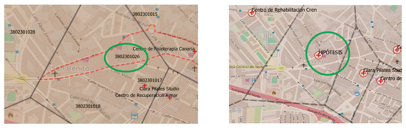
Comparison of the current situation with the new situation (hypothesis)
Value and evolution of the proposal
Its main value, as we have seen, lies in applying geomarketing and territorial analysis techniques to users who normally do not have access to specialized studies. The application would allow users to analyze the competition, study the population profile, assess accessibility, and compare locations before launching a business.
In the future, the proposal could be expanded with new open datasets on available premises, licenses, mobility, tourism activity, or updated economic indicators. It could also evolve into a recommendation tool capable of generating automatic reports or adapting analysis criteria according to the type of business.